

1·
2 months ago@neuracnu Get “https://lemmy.blahaj.zone/api/v3/post?id=37779548”: tls: failed to verify certificate: x509: certificate signed by unknown authority.

Interests include #TranspoEquity, #UltraRunning, #BloomingtonIN, #DevOps, #UrbanPlanning, #Mapping, #Linux
Boosting questions and helpful or actionable posts. Let’s build better together.
@neuracnu Get “https://lemmy.blahaj.zone/api/v3/post?id=37779548”: tls: failed to verify certificate: x509: certificate signed by unknown authority.
@neuracnu On YouTube it says “coming to theaters” ?!

deleted by creator

@superkret I filled in some missing values based on correct values found in city code.
@superkret No one was suggesting that.
@DemonHusky @pleaseclap @bloomington_in Ah, so the correct speed limit needed to be lowered in OSM?
@pleaseclap @DemonHusky @bloomington_in Yes. Many routing services, including Google Maps, use OpenStreetMap data to some degree. The more accurate the data is, in general the better the algorithms can work.
If you know of times where you think you haven’t been given the best bike directions, the issue might be solved by updating something in OpenStreetMap. Which like Wikipedia, anyone can edit and it’s not to hard to get started.
@benfulton @bloomington_in The algorithms don’t know about the debris in the bike lane nor have I heard of carbon monoxide being factored in, BUT the Pointz app allows reporting road hazards and road stress/comfort. But they have few users.
Both Strava and Ride With GPS factor in the routes actually take, so there are options for algorithms that look beyond what’s in OSM data.
@pleaseclap @DemonHusky @bloomington_in In context, the rest of the post says that exceptions are published in city code and provides an example link to the table in our code.
I’m suggesting to use real speed limits from city code. Sorry if that wasn’t clear.
@pleaseclap @DemonHusky @bloomington_in I’ve looked at the code. My servers have bike routing coverage for most of the US and EU with the OpenTripPlanner and Valhalla engines. Occasionally we find edge cases that don’t route optimally and look into patches.
Lots of roads don’t have max speeds in OpenStreetMap which they both use, so other signals are essential.
deleted by creator
deleted by creator
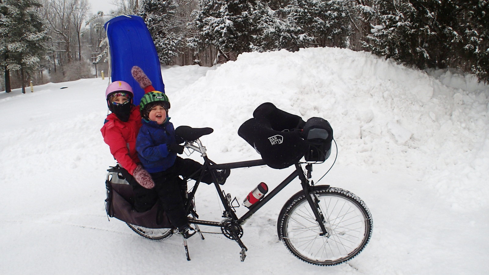
@FartsWithAnAccent I saw a split bike seat a decade ago. Rider said it was very comfortable. Maybe this variant is different because it tilts too. 🤷

deleted by creator
@atzanteol @markstos@lemmy.world
ssmtp is unmaintained.
msmtp is the recommended successor. The Arch wiki recommends also considering OpenSMTPD, which I haven’t looked at yet.

@ajsadauskas @fuck_cars I built free software to quantify amenity categories within a 10-min walk:
https://mark.stosberg.com/new-software-to-calculate-walk-potential-for-cities/
My default categories:
- Arts / cultural space
- Bank / ATM
- Bar / pub
- Barber
- Bike shop
- Bus stop / Rail Station
- Café / Tea Shop
- Car share station
- Community center / place of worship
- Daycare
- Fitness or Sports Center
- Grocery store
- Hardware store
- Laundromat
- Library
- Liquor / cannabis store
- Park
- Pharmacy
- Restaurant
- School
- Retail / boutique


@neuracnu I love the service you provide!